
OK. Got to admit it. It is well known that Whidbey’s weather isn’t the same. The ends and the east are wetter. The middle, particularly the west, is dryer. But is that really true? Data says so. The map says so. But, sometimes curiosity is best satisfied by being there. So, here’s a photo montage of a couple of hours of weather as seen from one drive from the Clinton Ferry, to the Coupeville Ferry, to the Deception Pass Bridge. (Normally, the drive takes less time, but hey, errands happen in real life.)
Bonus: Most of the photos are taken from the shoulder at the few traffic lights, a few other places in the big gaps, but had to skip most of Oak Harbor to be safe.
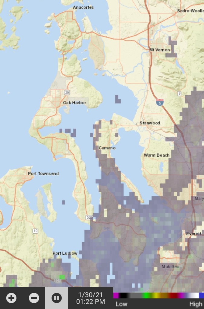
Radar at the start – Clinton 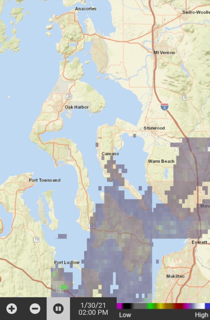
Radar in the middle – Coupeville 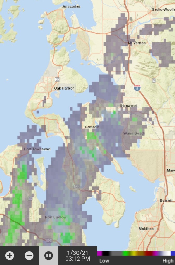
Radar at the end – Deception Pass Bridge 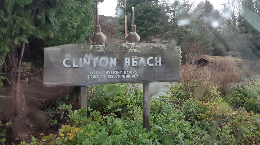
Rainy windows – Clinton 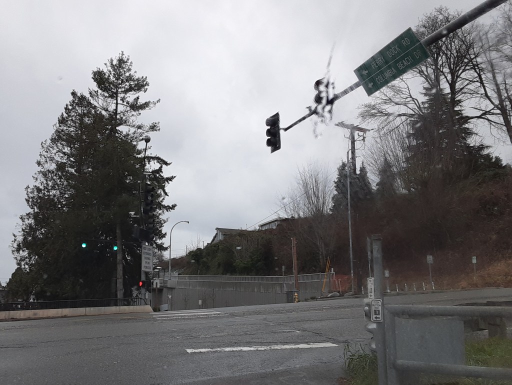
Rainy roads – Clinton Ferry 
Rainy roads – Ken’s Corner 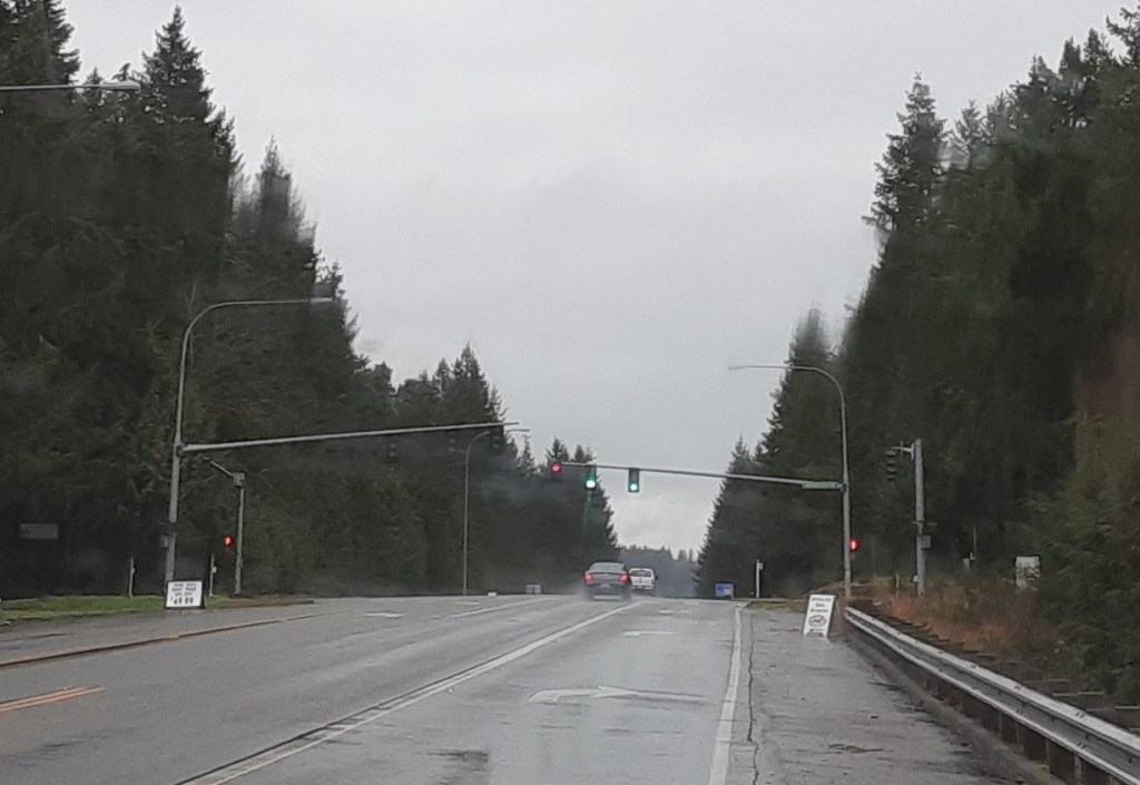
Rainy roads – Maxwelton 
Rainy roads – Bayview 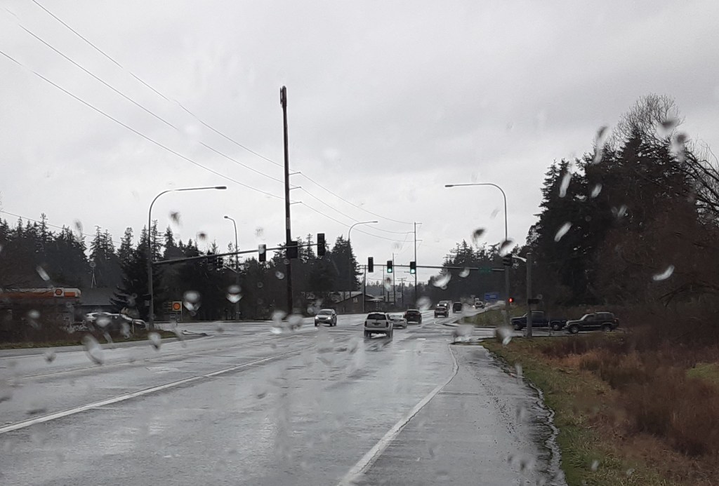
Rainy roads – Freeland 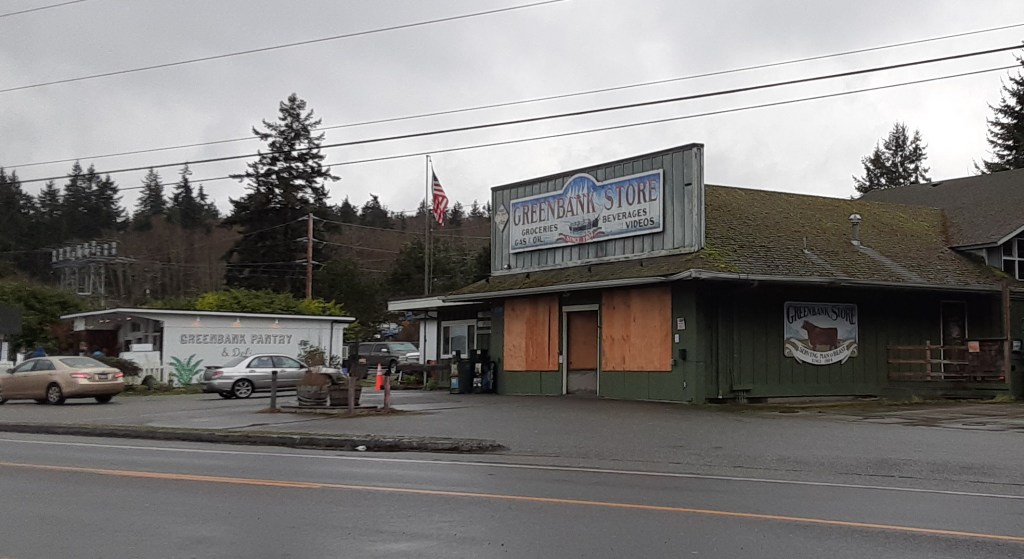
Clearing but grey – Greenbank in the big gap 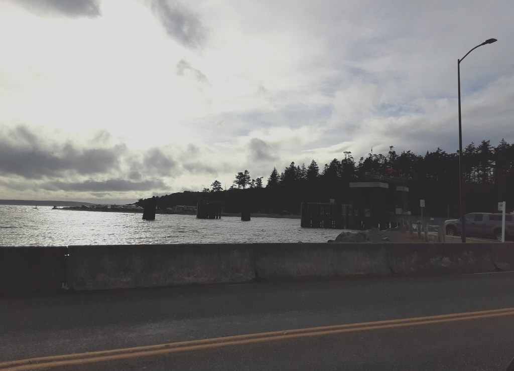
Sunshine shadows and clouds – Coupeville ferry 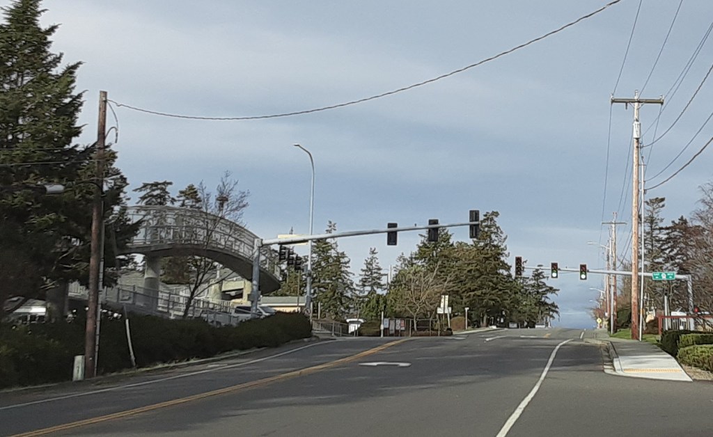
Sunshine! – Coupeville’s light 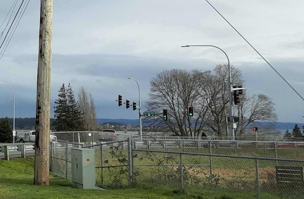
Sunny and warmer – Swantown intersection from the side 
Clouds gaining – NAS WI 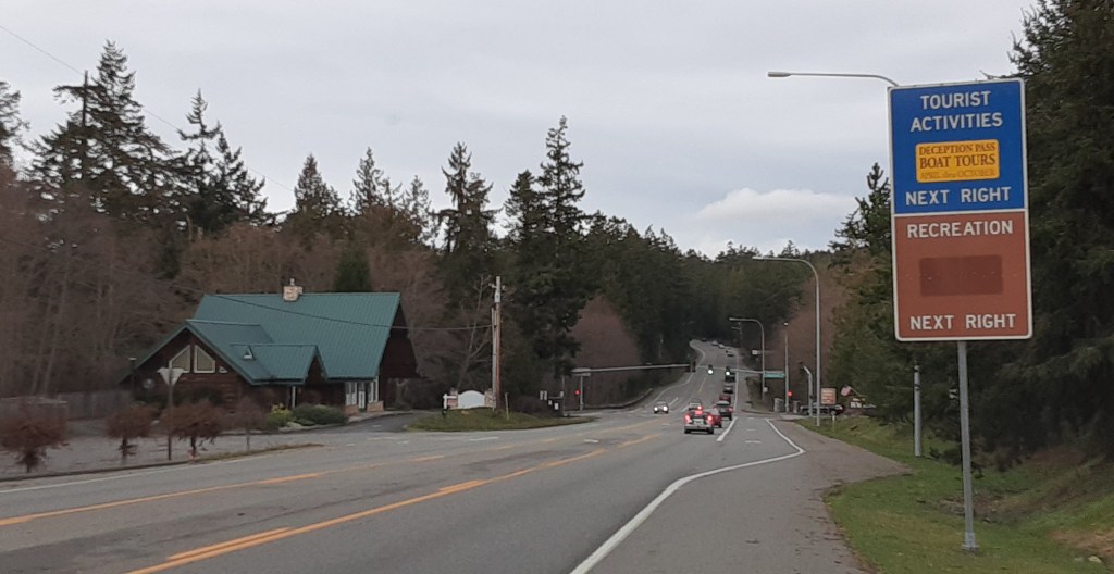
Thicker clouds – Deception Pass first/last light 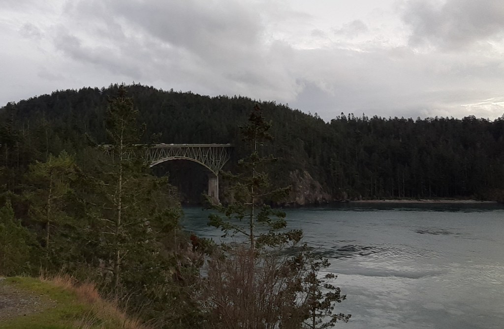
Deception Pass Bridge – grey skies, clouds and crowds
Yep. A simple, silly idea. A way to spend a couple of hours satisfying a curiosity while being socially distant. Sure enough, windshield wipers were busy on the south end, dry all around in the middle, and a chance of rain on the north end. One forecast can’t handle them all. Just over 47 miles, one way. A drive that some wish was shorter, but that is so appealing that people travel thousands of miles to enjoy what the island holds in a few dozen miles. And it is free (except for the costs of gas, and maybe new wiper blades.)
